

Welcome to Atlantis Tour Guides (the audio tour division of Tours by Foot). We are excited you chose to take our St. Charles Street Car in New Orleans self guided audio tour.
INSTRUCTIONS:
This is a self guided tour that you can take at any time. It is not date specific and you can listen to it as many times as you'd like.
Find the audio stops listed below. You can listen out of order if you chose but the verbal instructions to get between stops will follow our suggested map route.
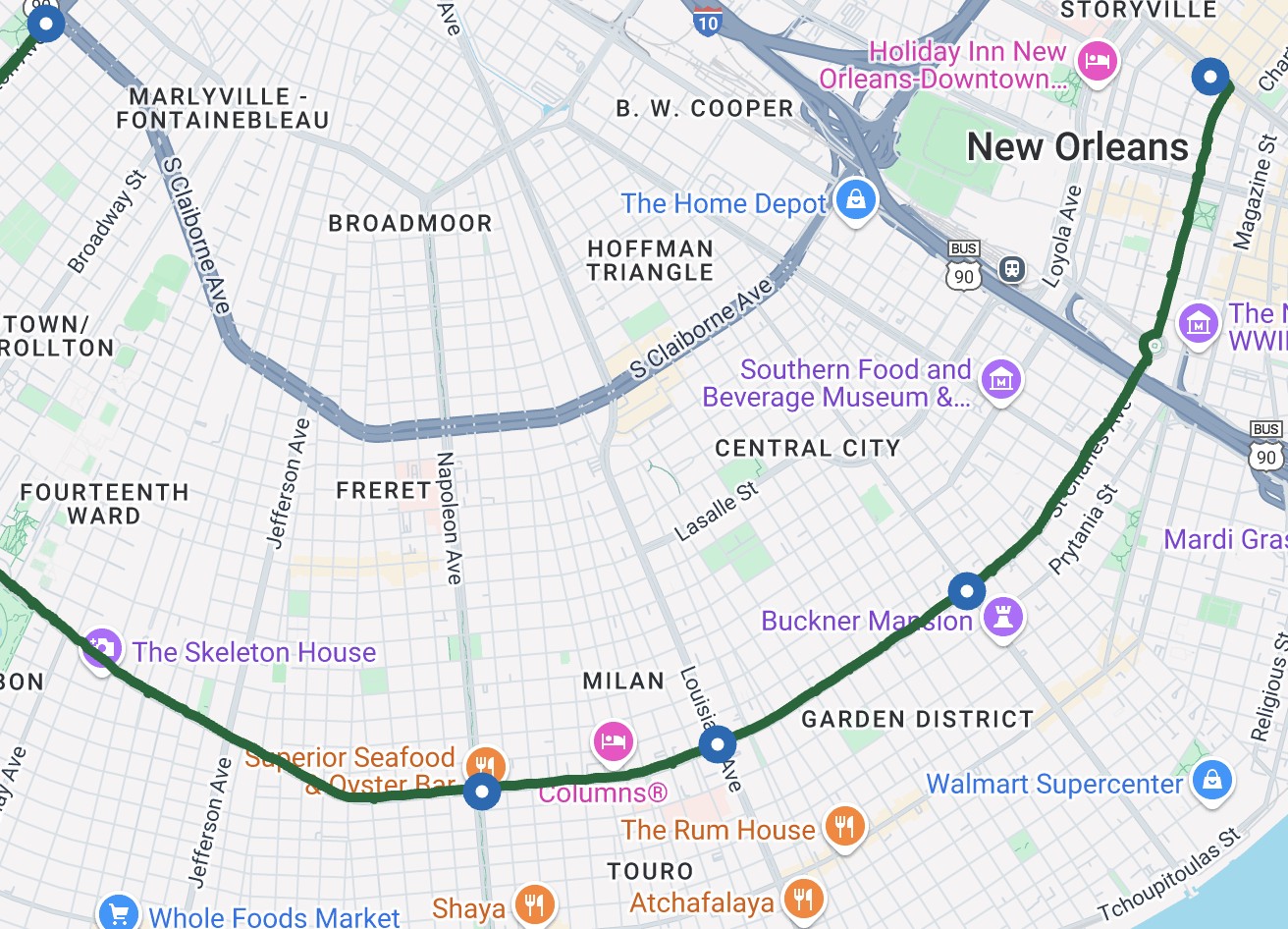
Each stop has a Google Map link to ensure you can easily fine the next stop, but you can also use this embeddable Google Map.
You can also use this .pdf file of the written tour script if you'd like to read along with the audio tour.
You can use this map by clicking on the square in the upper right corner. It will then open your Google Maps app (you must have this app for the map to work) with the stops shown. You cannot download the self guided tour map, but if you'd like to use this map without data, be sure to leave this page open!
- Time: About 1 hour
- Distance: This audio tour is to be taken while riding the Street Car
- Start: intersection of Canal and N Rampart St.
- End: Audobon Park
By taking this ride, you’ll be leaving the historic heart of the city and making your way through areas built up in the 19th century, after this land became part of the United States. When the streetcar was new in 1835, it connected New Orleans with several other small cities, now neighborhoods, built gradually further up the Mississippi - so for the most part, as you ride, you’ll be going forward in time.
First, a few logistics. The tour covers the St Charles Avenue Streetcar line, which is the oldest of several in town. We’ll have some guidance for getting on the streetcar at the end of this track.
The tour is designed for the ride most visitors take - boarding the car on Canal Street at the edge of the French Quarter and riding it up through the downtown business district and the Garden District and to some scenic residential areas beyond there.
Specifically, we’ll take you as far as Audubon Park and Tulane and Loyola Universities. That’s only about half of the total route, but by that point, you’ve been through the most historic and scenic parts. We’ll have some notes at the end of what you’ll find if you go further along.
BEFORE YOU BEGIN...
We suggest you save this page to your home screen, making it easy for you to return to this page between stops. You can do this via the Add To Homescreen Button on your device.
STOPS:
Click on the stop name to hear the audio for each stop.
Listen to the first stop before boarding the street car!
Start the next track when the street car has started moving.